Where Data
Meets
the Earth
Precisely.
Enterprise-grade geospatial intelligence, LiDAR scanning, drone survey, 3D mapping, BIM Modelling & digital twin solutions — trusted by Fortune 500 companies, government agencies, and PSUs across India and globally.
Delivered
Worldwide
Excellence
Served
Precision Mapping.
Intelligent Data.
From aerial photogrammetry to digital twins — we deliver end-to-end geospatial solutions tailored to your mission-critical requirements.
3D Indoor & Outdoor Mapping
High-resolution spatial models of buildings, campuses, and urban environments using LiDAR and photogrammetry.
Location Intelligence & GIS
Analytical geospatial platforms delivering business insights, network planning, and site intelligence.
Digital Twin Development
Physics-accurate virtual replicas of infrastructure and terrain for simulation, monitoring, and planning.
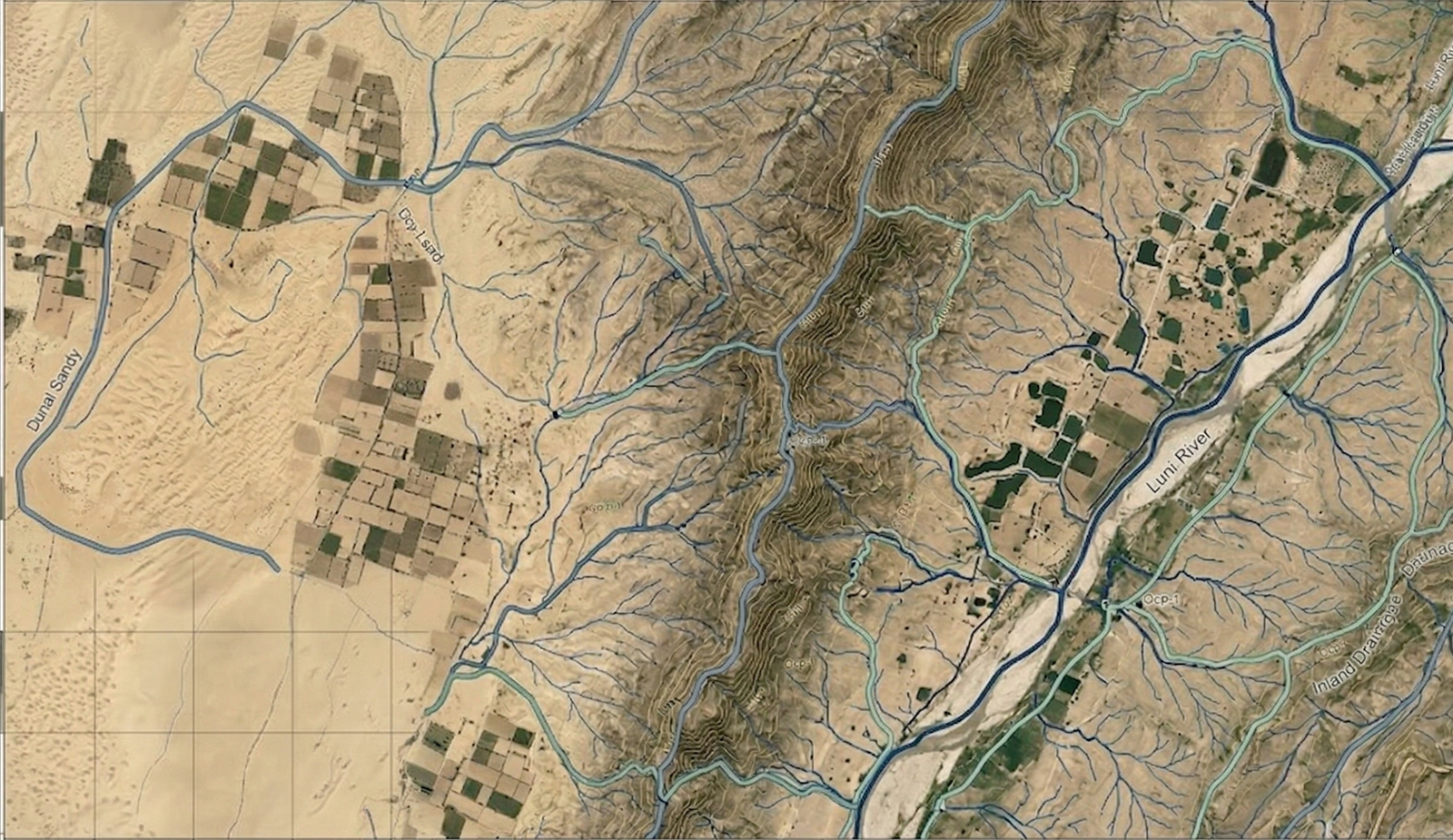
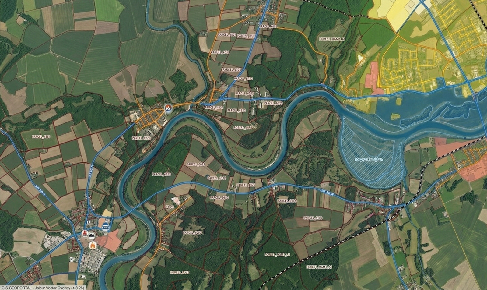
Topographic & Cadastral Mapping
Large-scale terrain surveys, DEM/DSM generation, and land parcel boundary documentation.
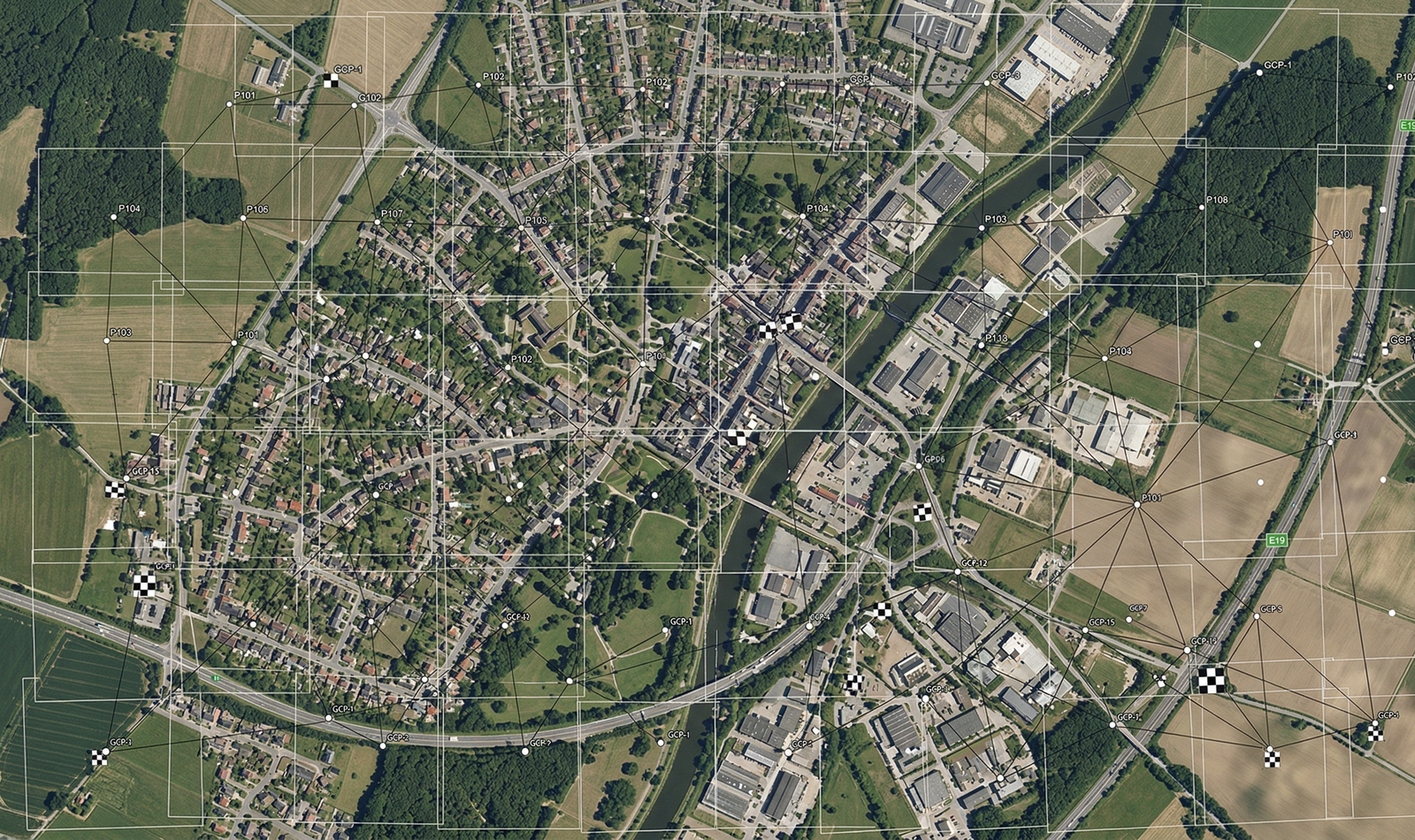
Aerial Triangulation & Stereo Compilation
Advanced photogrammetric processing from aerial and satellite imagery with rigorous QA/QC.
LiDAR Data Processing
Point cloud classification, feature extraction, and derivative product generation from airborne and mobile LiDAR datasets.
BIM Modelling & Integration
LOD 100–500 Building Information Models integrated with GIS and geospatial data for design, construction, and facility management.
Vehicle Camera Survey
Mobile mapping with 360° cameras and LiDAR for road asset management, utility mapping, and corridor surveys.
Drone Survey & Mapping
UAV-based aerial surveys delivering orthomosaics, DEMs, 3D point clouds, and thermal imagery across India.
DGPS Survey
Centimetre-level ground control points, boundary demarcation, and topographic control using CORS-connected DGPS.
FARO Scanner Survey
Sub-millimetre terrestrial laser scanning for as-built documentation, industrial plants, and heritage structures.
Built on
Precision.
Driven by
Innovation.
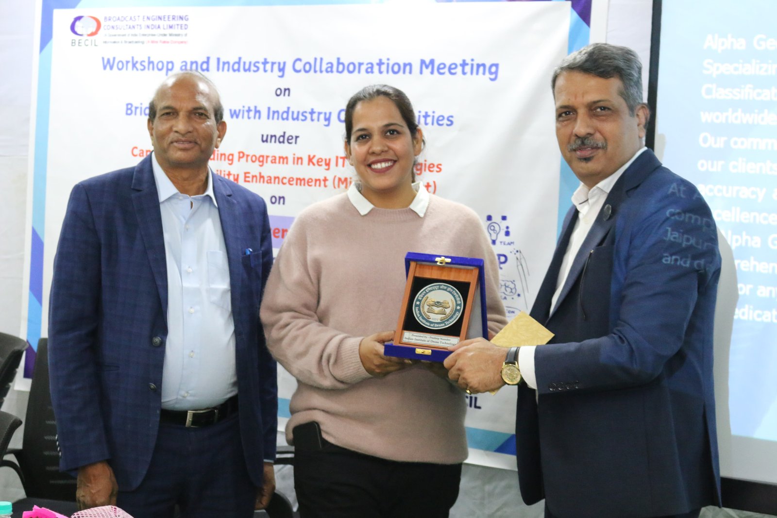
Alpha Geo Solution, headquartered in Jaipur, India, is a globally recognised leader in digital geospatial information and services. We deliver comprehensive spatial insights to Fortune 500 clients, PSUs, and government agencies — transforming how organisations interact with location data.
Enterprise-Grade Quality
ISO-compliant workflows with rigorous QA/QC at every stage of data production and delivery.
Global Reach, Local Expertise
Proven track record serving clients across India, the Middle East, South-East Asia, and Europe.
Cloud-First Architecture
Scalable, real-time geospatial data management on modern cloud platforms for rapid deployment.

"My goal was to bridge the gap between cutting-edge technology and the world of geospatial and engineering solutions — empowering industries with data-driven insights and sustainable solutions that endure."
info@alphageosolution.com · +91 8290830989
Built for
Every Sector
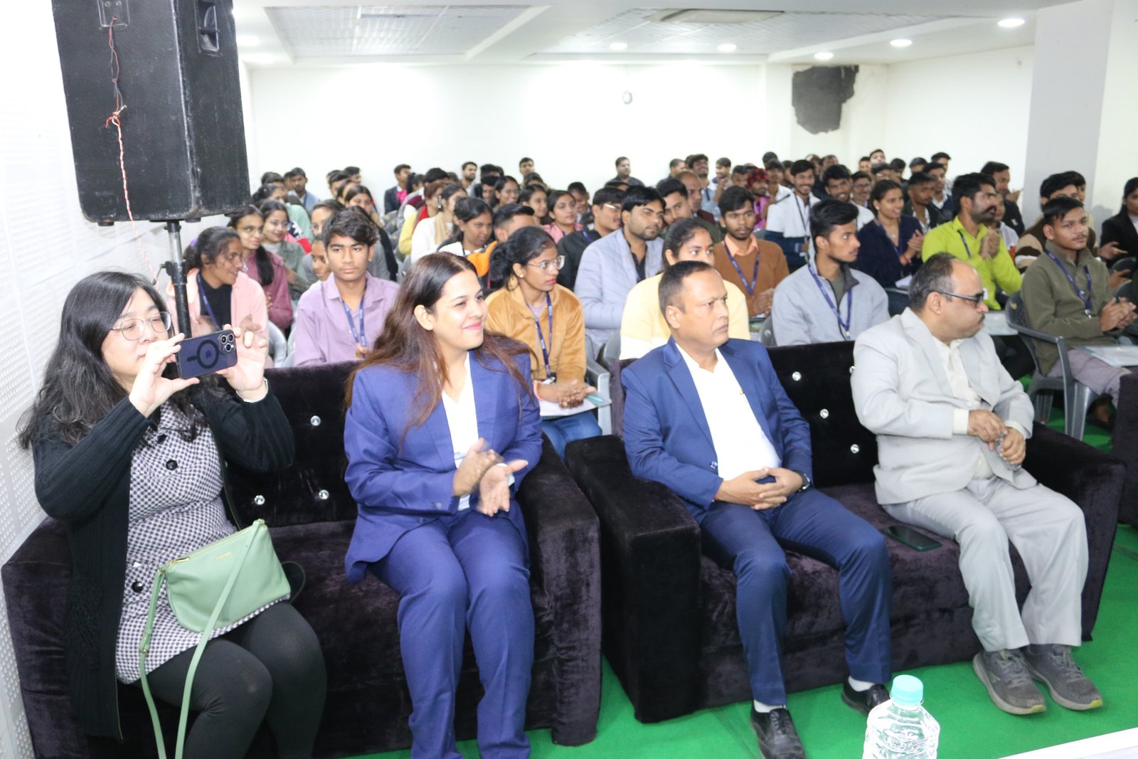
Our geospatial expertise spans a wide range of industries — from national mapping agencies to smart city authorities.
Our Proven
Process
Trusted by
Leading Institutions
Their precision mapping helped us preserve and document heritage sites with unparalleled accuracy. The team's professionalism sets them apart from any geospatial vendor we have engaged globally.

Alpha Geo Solution's 3D mapping services have been instrumental in shaping our city's urban planning projects. Their data quality and turnaround time are exceptional by any global standard.

Accurate, timely, and thoroughly professional. Alpha Geo Solution exceeded our expectations in every survey project — a truly reliable long-term strategic partner.

Their advanced geospatial services streamlined our infrastructure development with accurate, detailed mapping that integrated seamlessly across all of our platforms and internal workflows.

Let's Map Your
Next Big Project.
Tell us about your geospatial challenge. Our expert team will respond within 24 hours with a tailored proposal.